Turbulent...
...that is doubtless the word which best describes current weather conditions. Precipitation (snow, followed by rain up to 2500m), gale-strength winds, fluctuating temperatures.
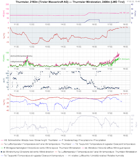 |
Fresh snow on 15.02.2022. Rising temperatures. Storm-strength winds. (southern East Tirol)
 |
| 24-hr overall fresh snow 15-16 February (up to 40 cm on Carnic Ridge in southern East Tirol) |
 |
Precipitation on 17 February also in western regions, as rain up to high altitudes. |
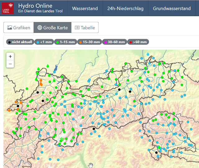 |
| Precipitation with rain, 16.02 to 17.02. This time, mostly in westernmost regions. |
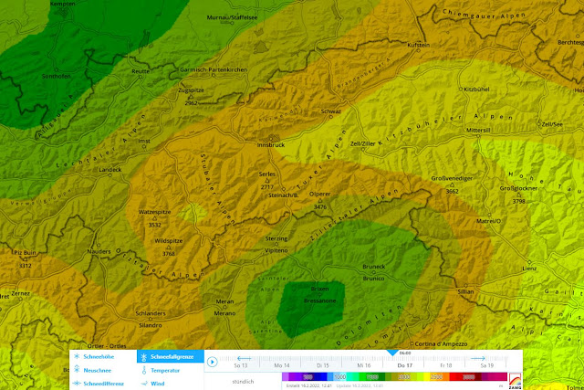 |
| Quite new in lawinen.report: map of potential snowfall level. Here, from 17.02.2022 at 6:00 am |
Effects on the snowpack and on avalanche danger
The minor snowfall of 15 February with little wind impact is currently being massively transported. There are huge snow plumes visible in the mountains throughout the land. Fresh snowdrift accumulations are especially prone to triggering at high altitudes. Furthermore, in zones where snowfall was heaviest, such as southern East Tirol, also steep shady slopes can be struck by this up to intermediate altitudes.
 |
| Fresh snow on 15 February on the way to Vennspitze, northern Zillertal Alps (photo: 16.02.2022) |
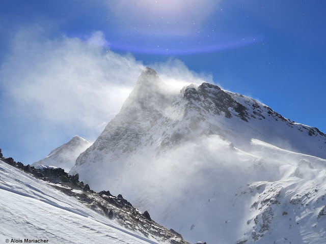 |
| Snow transport in the mountains. Defereggental (photo: 17.02.2022) |
In addition, the snowpack surface at low and intermediate altitudes was moistened. In the furthermost western regions the intensive rainfall penetrated deep down into the snowpack. The combination of snowdrifts and higher temperatures led in isolated cases even to small-to-medium naturally triggered slab avalanches.
As a result of further rising temperatures on 18 February, the snowpack surface at low and intermediate altitudes will initially remain moist. Glide-snow avalanche activity could be heightened over the next few days, particularly in those regions where there was lots of rainfall.
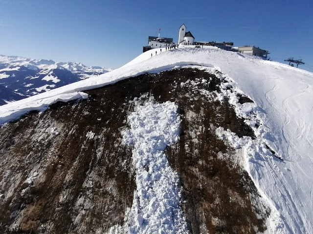 |
| Glide-snow avalanche, triggered on 14.02 beneath Hohe Salve, western Kitzbühel Alps. An avalanche operation was aborted in time. |
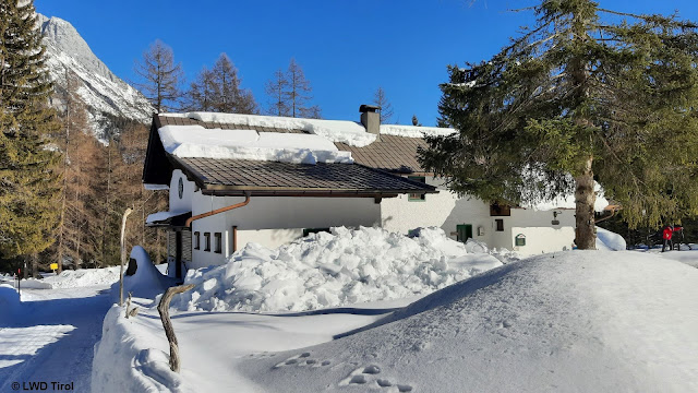 |
| Heightened likelihood of rooftop avalanches due to rain and warmth. Mieming Massif (photo: 12.02.2022) |
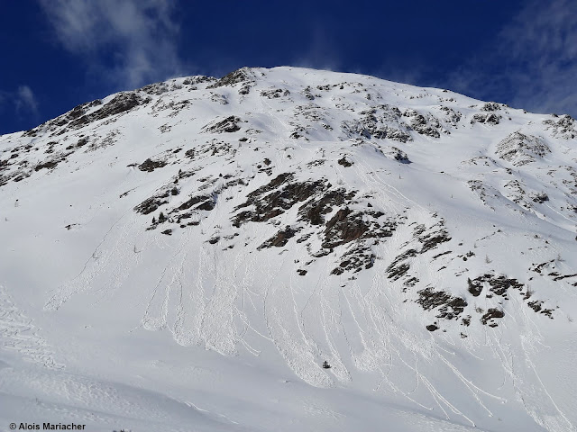 |
| Moist to wet loose-snow avalanches due to rainfall and warmth. Deferegger mountains (photo: 17.02.2022) |
As to the persistent weak layer discussed in recent blogs, there is no change. In some places, a slab is more pronounced due to warmth and additional snowdrifts, whereas the weak layer then becomes somewhat less prone to triggering. Fracture propagation over large distances is still possible.
 |
| Ski tracks indicate that the avalanche triggered when a person was very nearby. Northern Stubai Alps (photo: 14.02.2022) |
Conditions remain instable. The avalanche situation remains unchanged.
In the wake of an unusually warm Friday (18.02) will follow a weak cold front on Saturday. It will remain windy, but not quite as stormy. A striking cold front is scheduled for Monday, 21.02.2022. East Tirol will get more favorable conditions.