Still weak layers in old snow in places
Through snowpack analysis, stability tests and snowpack computer models we have been able to follow the development of the persistent weak layer since the beginning of the month. It has become clear that the danger zones are continually diminishing in frequency, but that under unfavorable circumstances avalanches can still trigger in the faceted layers, particularly at mid-level in the snowpack. In isolated cases, avalanches can even grow to large size, though most are now medium-sized.
 |
| Snowpack analysis helps to get a better grasp of the persistent weak layer. Bielerhöhe (photo: 20.02.2022) |
Such avalanche prone locations occur most likely on W/N/E facing slopes between about 2200m and 2600m. However, there are also isolated such weak layers on south-facing slopes particularly above about 2600m. Avalanches can be triggered especially in transitions from shallow to deep snow. Ordinarily it needs large additional loading. The situation is usually known as “low probability – high consequence.”
 |
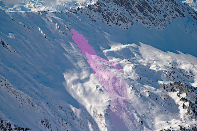
| Naturally triggered avalanche on 22.02. Increased additional loading due to wide-ranging snow transport. Hohe Warte, northern Zillertal Alps, NE, 2400m (photo: 23.02.2022) |
 |
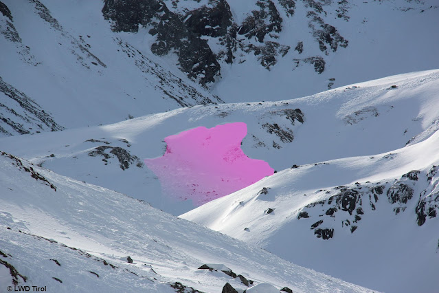
| Naturally triggered slab avalanche on 22.02 due to snow transport. Stiergschwetz, northern Stubai Alps, 2400m, N (photo: 24.02.2022) |
 |
| Avalanche triggered near Taschachhaus on 20.02.2022, Weißkugel Massif, NE, 2350m |
 |
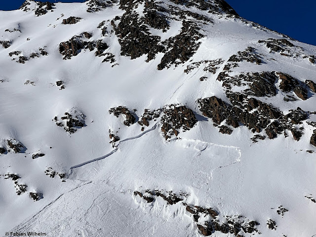
| A slab that was triggered by a jump at about 2600m, S, Ötztal Alps. Presumably a snowdrift problem. Possibly snowdrift + persistent weak layer. (photo: 23.02.2022) |
Today, 24.02, two avalanches were reported to Headquarters Tirol in which persons were injured. One was near the Marchginggeles in Innervillgraten (appx. 2500m, N), a further one in the Weißkugel Massif (appx. 2600m, S).
A snowpack intensively sculpted by storm winds
Last week, once again the impact of storm-strength winds showed itself in the mountains. Winds were strongest on 22.02.2022. Fresh snowdrift accumulations were triggered particularly in steep terrain at high altitudes. Due to the already intensive solar radiation and the warmth inside the snowpack, most of the snowdrifts have bonded well with the old snowpack surface.
 |
| Where last week’s snowfall was heaviest: the Arlberg region. Storm-strength winds raged as the snow fell. |
 |
| Storm-whipped: Venediger Massif (photo: 22.02.2022) |
 |
| The photographer’s caption: “Wind Canal Tannheim” (photo: 20.02.2022) |
 |
| Illustrative for all of Tirol. Wide-ranging snow transport. Griesskogel Massif (photo: 21.02.2022) |
 |
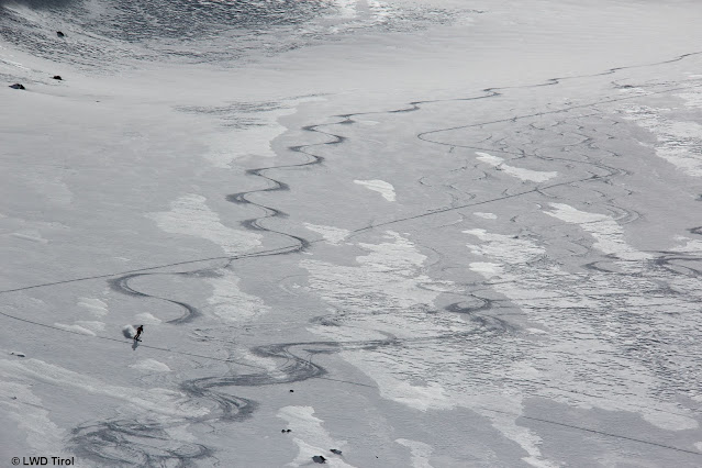
| A frequent image of Tirol’s snowpack surface: deeply etched by wind. In addition: not much snow for this juncture of the season. Deferegger mountains (photo: 24.02.2022) |
 |
| Despite the irregular surface there is still good snow to ski on. Northern Stubai Alps (photo: 24.02.2022) |
Below-average snow depths
Snow depths are far lower than usual in all the corners of Tirol, extraordinarily so in southern East Tirol.
 |
| Magenta line: development of snow depths this winter. For a short spell the overall snow depth touched the ultimate measured minimum (measurements since 1961!) |
 |
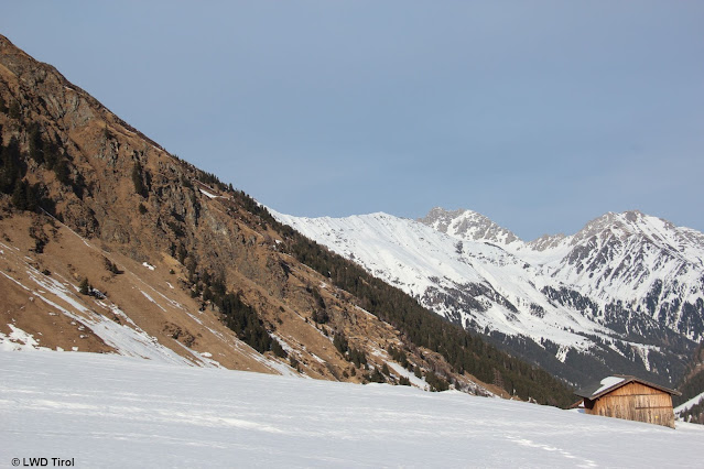
| View from southern East Tirol to the north (photo: 22.02.2022) |
 |
| On sunny slopes there is often little snow. Northern Stubai Alps (photo: 24.02.2022) |
 |
| A new round of fresh snow on 21.02. and 23.02.2022 |
Outlook
Initially, there will be little change in the current avalanche situation. The weather forecast is characterized thusly by the ZAMG Weather Service: “After a cold front passes through in the latter part of the night (24.02-25.02) temperatures will drop noticeably. Tomorrow (25.02) dry air masses will move through for a short time. On Saturday (26.02) a minor perturbance. Starting on Sunday (27.02) a high-pressure front will take over. Until the end of the weekend, average seasonal temperatures are expected.

