Cold front spikes avalanche danger
Fresh snowdrifts at the main peril
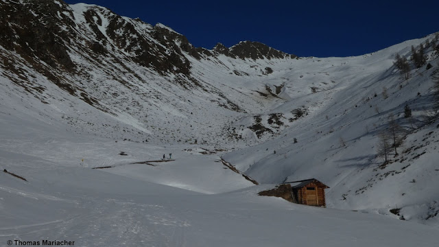
A cold front moved swiftly through Tirol today (05.12.2022), bringing fresh snow everywhere. Mostly it was 10-20 cm, in some places 30 cm. That plus the strong winds at high altitudes generated fresh snowdrift accumulations. These are currently the main danger for winter sports enthusiasts. In the regions where snowfall was heaviest, they are deeper and wider, making them more dangerous. With some experience in assessing avalanche dangers on-site, they can be recognized (as long as visibility permits) and circumvented. Such danger zones occur particularly behind protruberances, in ridgeline terrain, in gullies and bowls.
 |
| Winds intensified yesterday (04.01.2022) at high altitudes. Samnaun Massif |
 |
| Snow differences since 05.01, early morning |
Highly varied snowpack
Viewing the snow distribution and snowpack structure, in particular the surface before the cold front moved in, it is easy to see a highly varied snowpack. This is positive, tells us that there are not great fracture propagations, but rather, local problem zones due to the fresh snowdrifts.
 |
| Snow distribution in Villgraten valley (photo: 01.01.2022) |
") |
| A similar picture in the northern Stubai Alps (photo: 01.01.2022) |
") |
| Snowpack showing pronounced rain gullies. Allgäu Alps (photo: 01.01.2022) |
") |
| Snowpack surface showing striking effects of wind and sun, full of variations at high altitude. Carnic Ridge (photo: 04.01.2022) |
A view inside the snowpack often shows layers not prone to triggering. Except for a small nest of depth hoar where the snow is shallow in ridgeline tererain. These layers are often blanketed by shallow, hardened, older snowdrift masses and can be triggered particularly in extremely steep terrain.
 |
| Typical snow profile: fractures in the snowpack can usually not propagate. The old snowpack is generally stable. N, 2600m, 34°, eastern Deferegger Alps |
Weak layers on which the freshly generated snowdrifts could release are thus found inside the fresh fallen snow itself, sometimes in the form of graupel layers or due to soft layers of fresh snow. At high altitudes, most parts of the land thereby have moderate avalanche danger at high altitudes. Thus, the current considerable danger level is closer to the lower zone of that level in areas where recent snowfall has been heavy.
A short review: record temperatures at New Year
Last week was unusual in terms of weather: much too warm. Thus, to name an example, in Galtür or St. Anton am Arlberg temperatures prevailed which were higher than ever before measured.
After the warm front passed through (29-30.12) when the rain frequently extended up to 2600 m, followed by a warm-weather phase until 4 January, the snowpack was, on the one hand wet at low and intermediate altitudes, moist on high altitude sunny slopes, and on the other the weak layers collapsed - but ultimately the snowpack stabilized.
After the warm front passed through (29-30.12) when the rain frequently extended up to 2600 m, followed by a warm-weather phase until 4 January, the snowpack was, on the one hand wet at low and intermediate altitudes, moist on high altitude sunny slopes, and on the other the weak layers collapsed - but ultimately the snowpack stabilized.
 |
| Something never seen before: the red line shows record-breaking temperatures in Galtür. |
Outlook
Initially, the snowdrift problem remains the main danger.