The evil weak layer: cold loose fresh snow
Since Saturday 10.12 temperatures have plummeted. For that reason, the snow which fell on Friday through Sunday was often deposited as cold, loose-fluffy powder. For this snow to be transported, very little wind is required. Currently new snowdrifts are accumulating which are being deposited on top of this fluffy powder snow. Since that is itself a weak layer prone to triggering, the fresh snowdrift accumulations can be triggered extremely easily. We can expect naturally triggered slab avalanches in some places, and these can grow to medium size. In addition, the weight of the transported snow can fracture weak layers near to the ground and unleash avalanches.
Therefore: rigourously circumvent fresh snowdrift accumulations in steep terrain! Heed the persistent weak layer problem, which starts at about 2000 m on shady slopes, at about 2500 m on sunny slopes.!
.JPG) |
| In the central part of East Tirol (Deferegger Alps): near ridgeline, fresh slabs demonstrate the trigger-sensitivity of the snowpack. (photo: Mark Kleinlercher 12.12.2022) |
 |
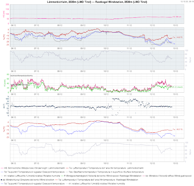
| Whereas there is often no wind at all at low and intermediate altitudes, it is blowing at moderate to strong velocity at high altitudes in some regions. |
 |
| Wind forecast for tomorrow, Tuesday, 13.12.2022 |