Water seepage into the snowpack leads to avalanches
We have landed in springtime, with a pronounced wet-snow problem. The cause is to be found in the weather and warm temperatures, (diffuse) radiation, dust from the Sahara and relatively high air moisture. Thereby, the snowpack becomes moister and wetter from day to day up to ever higher altitudes. It loses its firmness. Subsequently increasingly frequent wet loose-snow, slab and glide-snow avalanches release. Most often they are naturally triggered and of medium size. But small releases are often observed which in their plummet path sweep along greater masses of snow with them, ultimately reaching dangerously large size by the time they stop.
 |
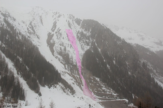
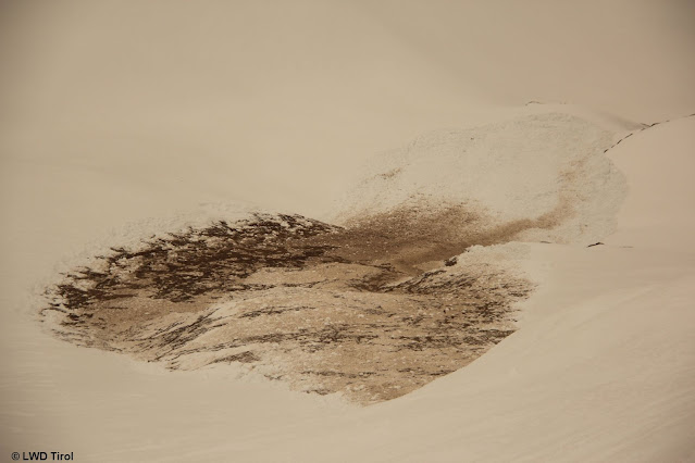
| Naturally triggered slab, 2100m, E, 16.03.2022, rear Kaunertal (photo: 17.03.2022) |
 |
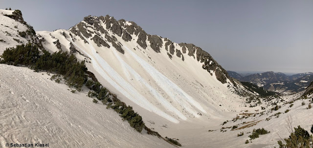
| Loose-snow avalanches in Ausserfern. The snowpack is brown-colored from Sahara dust. (photo: 16.03.2022) |
 |
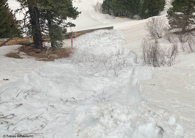
Since last weekend there has been a significant increase in glide-snow avalanches. More water seepage down to the ground means less friction and heightened likelihood of such releases. Frequently they are announced by glide cracks in the snowpack surface. Currently they are releasing even without these bellwethers. Western Tux Als (photo: 15.03.2022)
|
 |
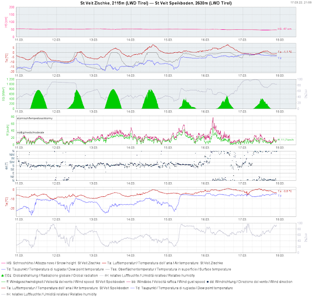
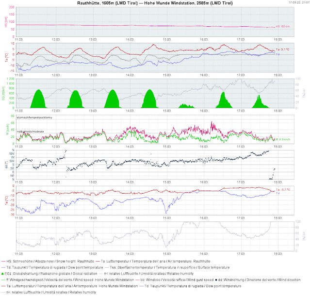
| The course of surface temperature development became ever flatter over the last few days. Outgoing longwave radiation aduring the night was either little or minimal. The snowpack is becoming wetter ongoingly. |
 |
| Temperatures recede as of nighttime. Skies remain cloudy, however. The dropping temperatures in East Tirol are more pronounced than in North Tirol. |
Loose-snow avalanches don’t only trigger in extremely steep sunny terrain, but also wherever the snowpack surface is expansively metamorphosed, faceted (like last weekend) and thus, quite loose. Increasingly this was the case on shady slopes at intermediate and high altitudes in wind-protected terrain. Slab avalanches are currently triggering at altitudes between 2000 and 2600 m.
 |
| Wet loose-snow avalanche in extremely steep, shady sparsely wooded area. Ötztal (photo: 16.03.2022) |
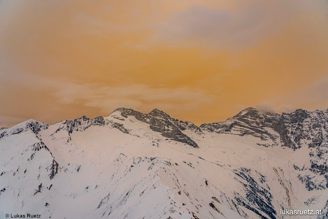
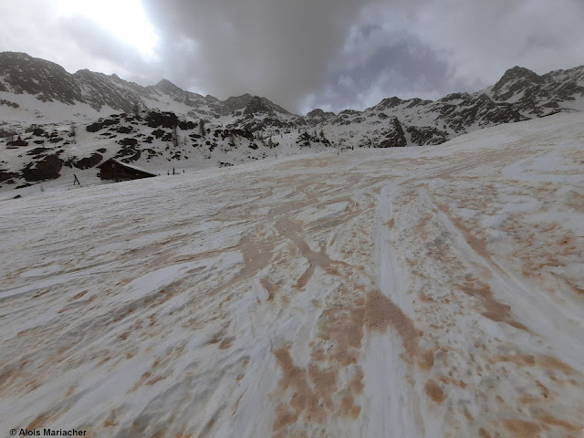
Wow! Dust from the Sahara!The forecast Sahara dust arrived in massive amounts. Wherever it rained on 15-16 March got more Sahara dust and the snowpack was shaded to deeper colors.
 |
| It didn’t rain a great deal anywhere during the night of 15-16 March. Where there was more rainfall, there was more Sahara dust deposited. |
 |
| To the left is south, from there on 15.03 the Sahara dust came our way. Skies in southern regions were darker than in the northern regions at the moment the photo was taken. This was also reflected in the colouring of the snowpack surface. (photo: 15.03.2022) |
 |
| Hardly an everyday sight! |
 |
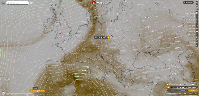
| Windy.com: Sahara dust distribution in the atmosphere on Thursday, 17.03 at 4:00 pm |
 |
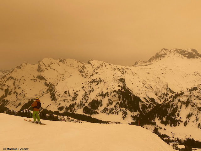
| Photograph without a filter: Sahara dust in the Arlberg region (photo: 15.03.2022) |
 |
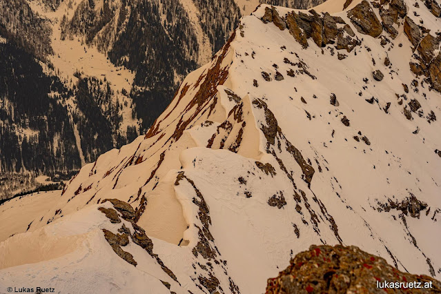
| Sahara dust paints the snowpack. Deferegger mountains (photo: 17.03.2022) |
The snowpackCurrently there are “temperature reserves” only at high altitudes on shady slopes and on sunny slopes above 2800m. The snowpack is moist-to-wet everywhere else. This situation is not expected to change anytime soon, the sky will remain overcast at least until tomorrow, 18.03. The outgoing radiation will remain much reduced. On the snowpack surface there will be only a thin melt-freeze crust, to the extent that there is any crust at all. Only at high altitudes are conditions better.
 |
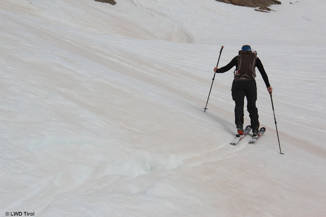
One repeatedly broke through the snow even in the morning at about 2700m. Glockturm Massif
(photo: 17.03.2022) |
 |
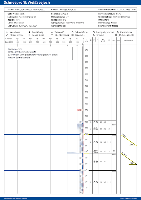
| The snowpack is isotherm (red, straight temperature line), 2790m, SE, 34°. A very loosely structured snowpack. |
 |
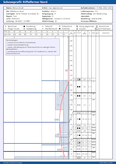
| Some temperature reserves in high alpine terrain. 3030m, E, 5°. Profile from 17.03.2022 |
 |
| On sunny slopes there are often (still) frozen water canals. In some places they exercise a stabilizing effect. This decreases when water seepage occurs. (photo: 17.03.2022) |
Increasingly, classic springtime conditions with daytime cycle of avalanche dangerStarting this weekend, the air is expected to become drier. The dust from the Sahara will diminish, the skies will become clearer. Quite classic springtime conditions, including a daytime danger cycle, will take over. We recommend careful planning of backcountry tours and strict time allotment. The higher you go, the more favorable avalanche conditions become.
